Devpost
Participate in our public hackathons
Devpost for Teams
Access your company's private hackathons
Grow your developer ecosystem and promote your platform
Drive innovation, collaboration, and retention within your organization
By use case
Blog
Insights into hackathon planning and participation
Customer stories
Inspiration from peers and other industry leaders
Planning guides
Best practices for planning online and in-person hackathons
Webinars & events
Upcoming events and on-demand recordings
Help desk
Common questions and support documentation
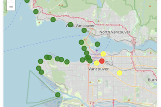
🌊 Vancouver Beaches E. coli Tracker is a web app that displays latest E. coli levels at local beaches through a color-coded table and interactive map to ensure safe swimming
Explorez des sites miniers via une carte interactive avec géolocalisation. Identifiez vos minerais par upload d'images IA, exportez des rapports et appliquez des filtres durables.
AquaScan uses AI to instantly identify fish species and check local fishing regulations. Snap a photo, scan, and fish responsibly—stay legal, sustainable, and informed with ease!
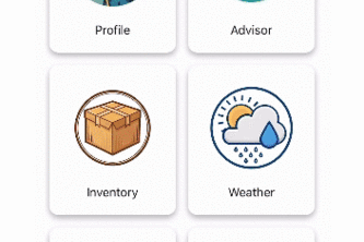
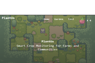
Your all-in-one farming app for inventory tracking, plant health monitoring, weather updates, and expert advice. Simplify farming and boost productivity!
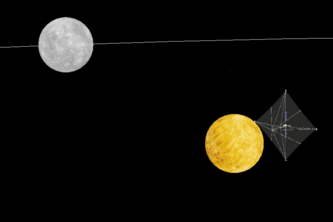
Highwind est une application Web qui reproduit le système solaire avec les vrais données pour simuler les vents solaires et trouver le meilleur chemin pour se rendre à l'aide voile solaire.
Grow Together, Thrive Together
interactive map website with Machine Learning
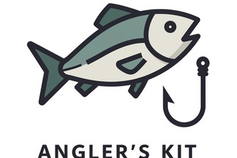
Avec Angler's Kit, chaque sortie de pêche devient une occasion de profiter de la nature de manière responsable tout en garantissant l'avenir de nos océans.
WildGuard est une solution innovante de surveillance environnementale qui exploite l'intelligence artificielle pour analyser en temps réel les images capturées par des caméras dans les parcs naturels.
Notre projet de calculateur de carburant pour missions spatiales utilise l'assistance gravitationnelle de astres du systèmes solaires pour économiser du carburant.
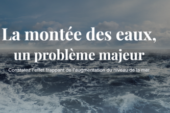
Notre projet est un site de prédiction de la montée des oceans. Il contient de l'analyse de données, une simulation et des informations sur cet enjeu.
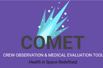
COMET (Crew Observation & Medical Evaluation Tool) transforms space crew health monitoring with real-time tracking, 3D visualization, and AI insights. It's the unified health system we wish we all had
AI-powered image recognition detects invasive species, endangered species and plastics in marine ecosystems, enhancing preservation efforts, reducing costs and protecting biodiversity.
Users can save discoveries with details like name, location, and description, all stored in their dashboard. With voice command support, logging entries are quick and hands-free.
🌍 GeoShield, protéger le sol, sécuriser l’avenir. 🛡️
space game about managing a company
Une vague de changement positif et de croissance technologique.
site web sur monde marin
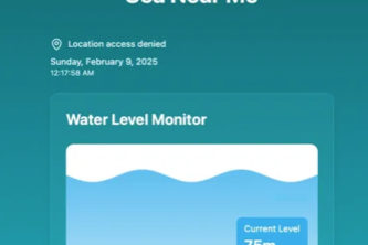
Real-time sea level monitoring with live data updates and historical trends, powered by Node.js, MongoDB, and Stormglass API.
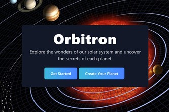
Orbition is a website that allow user to explore our solor system.
Space debris accumulates as space travel increases. WAL-ING is a simulation of a space debris collector that will remove space debris in the most fuel-efficient way.
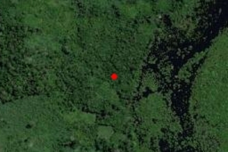
Detecting Forest Health Risks in Quebec with Machine Learning through an interactive system. Because sustainable development comes first.
OceanWatch
Une solution innovante combinant intelligence artificielle, vue satellite en temps réel et engagement communautaire pour monitorer et analyser les conditions des zones sensibles en Amazonie.
1 – 24 of 47